How does La Niña affect India’s climate? | Explained

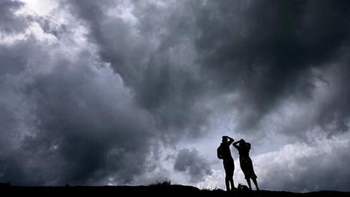
Dark clouds gather over the skies of Walayar near the Kerala-Tamil Nadu border, in Palakkad in July.
| Photo Credit: K. K. Mustafah
La Niña, a phase of the El Niño Southern Oscillation (ENSO), occurs when the region of the Pacific Ocean between Indonesia and South America is cooler than usual. Its counterpart, El Niño, represents a warming of the same region. These two phases significantly influence global atmospheric circulation and weather patterns. During La Niña years, India receives normal or above-normal rainfall during the monsoon season. Yet the same phenomenon causes droughts in Africa and intensifies hurricanes over the Atlantic Ocean. Conversely, the El Niño brings extreme summers and droughts in India while increasing rainfall in the southern United States.
While the La Niña was expected to emerge by July this year, it is yet to. The India Meteorological Department now expects a La Niña to set in by late 2024 or early 2025, plus a milder winter due to this delay. This decade began with three consecutive La Niña events (2020-2022), a rare occurrence known as Triple Dip La Niña, followed by an El Niño in 2023. Climate change may increase the frequency and intensity of both La Niña and El Niño events, as rising sea and land temperatures disrupt the Pacific’s balance. This could also amplify extreme La Niña events, which generally lead to harsh winters in India.
Will a La Niña emerge this winter?
2024 is different; the U.S. National Oceanic and Atmospheric Administration in fact called it “spooky”. The La Niña has not emerged as expected. Historically, the La Niña has usually formed during the monsoon or the pre-monsoon period, and it has formed only twice between October and December since 1950. Global forecasts had also predicted its emergence this monsoon. But in December, there remains only a 57% chance of it forming in 2024. It will be weak if it still does but it could affect global weather.
The onset of La Niña or El Niño can be declared on the basis of many indices. For instance, the oceanic Niño index (ONI) compares the three-month average sea surface temperatures in the East-Central Tropical Pacific with the 30-year average. When the difference between the two is 0.5º C or higher, it is an El Niño, and when it is –0.5º C or lower, it is a La Niña. Currently, it is around –0.3º C. To be classified as a full-fledged La Niña or El Niño, ONI values need to exceed the thresholds at least five times consecutively.
Meteorology of a La Niña winter
Cities in southern India like Bengaluru and Hyderabad are experiencing a colder than usual winter this year, while north India is witnessing a delayed winter with above-normal temperatures. Some reports have linked the southern chill to a La Niña, but the current ONI values suggest otherwise. Had a La Niña developed already, north India would likely be experiencing a colder winter than usual.
An analysis of meteorological data over 35 years by researchers at the Council on Energy Environment and Water, New Delhi, has revealed that while La Niña winters feature colder nights compared to El Niño, daytime temperatures tend to be higher. Meteorological parameters like wind speed and planetary boundary layer height (PBLH) — the lowest atmospheric layer directly influenced by land-atmosphere interactions — also vary during ENSO phases, affecting air quality.
The team found the average wind speed is higher throughout the day during La Niña winters. Faster winds help reduce air pollution by transporting pollutants away. They also found that the average PBLH is slightly lower during La Niña winters.

If La Niña sets in, lower temperatures in north India may lead people to burn more biomass for heating, worsening air pollution. A lower PBLH could also trap more pollutants near the ground. But higher wind speeds could disperse the pollutants, potentially leading to better air quality.
La Niña and the monsoons
El Niño summers are relatively harsher, as was the case in April this year, when India experienced intense, record-breaking heat waves. If a La Niña arrives and persists into the summer of 2025, it may offer relief from high heat. Additionally, an El Niño often disrupts monsoons, with India historically receiving below-average rainfall during at least half of all El Niño years since 1871. But the same figures also indicate evolving patterns since 1980.
Both north and south India, for instance, have received less rainfall during more intense El Nino events while central India has been barely affected. A La Niña, on the other hand, promotes robust monsoons as evidenced by the “normal” or “above-normal” rainfall in the La Niña years of 2020, 2021, and 2022. There were “below normal” rains in the El Niño year of 2023.
Thus it would be a welcome development if a La Niña forms now or early next year and continues until the monsoon season. This would mean a less intense summer and more rains for India.
Mohammad Rafiuddin is programme associate, and Shikhar Tiwari and Rishikesh P are consultants — all at the Council on Energy, Environment and Water (CEEW).
Published – December 17, 2024 08:30 am IST


